Pictures of Iceland
A miscellaneous collection of photos, which didn’t fit anywhere else.

The strange reason I ended up in Iceland. In October the company I work for shipped a pallet with goods from Amsterdam to Chicago (ORD) with Icelandair Cargo via Liege (LGG) and KEF. The pallet never arrived at its intended destination in ORD. To make sure the shipment was not lost in Iceland I called Icelandair Cargo in KEF and asked for an investigation. In the above security camera image you can see our pallet with 12 boxes arriving from LGG in KEF. The next image I received shows our shipment leaving KEF for its flight to ORD aboard an Icelandair passenger plane. It convinced me our shipment had been lost in the USA. Since the girl on the phone in Iceland was really friendly, I ended up buying a ticket with Icelandair to KEF for a short holiday.

Church with graveyard near Hveragerði.

The graveyard near Hveragerði close-up.

Sheep heads in a supermarket in Hveragerði. Unfortunately restaurant Myrin Mathus in Reykjavík was closed due to renovation. This was the closest I got to eating Svið.

In winter the Icelandic Road and Coastal Administration closes many roads if they are deemed unsafe. You can drive past the sign, but then your car insurance will be void.

Snow mobile tour operator Mountaineers of Iceland operates a fleet of specially modified buses to reach glaciers and other remote locations.

Tourist centre near waterfall Gullfoss. I love how the architecture blends with the landscape.

Hvalfjörður, meaning: whale-fjord, before sunrise. In Hvalfjörður the only remaining whaling station of Iceland is located.

Santa Clauses in fishing town Akranes. There is always one who doesn’t fit in.
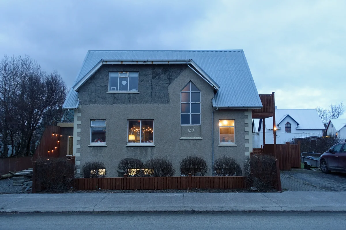
House in Akranes

I really liked driving this 2018 Suzuki Vitara all grip, which is the 4x4 version.